

![]()
![]()
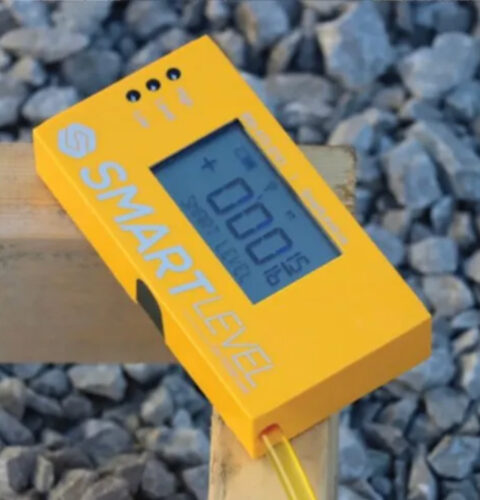
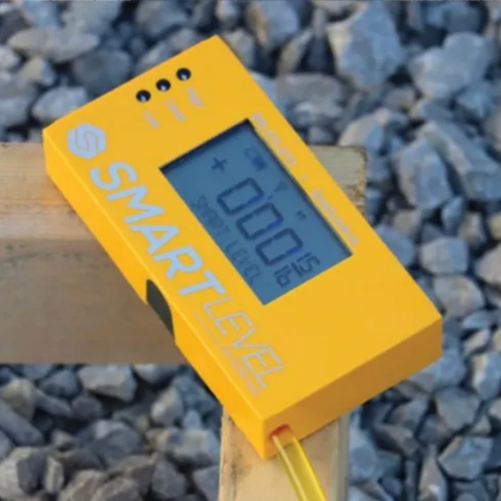
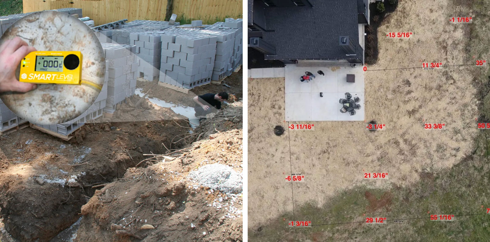
High Precision Altimeter with Bluetooth
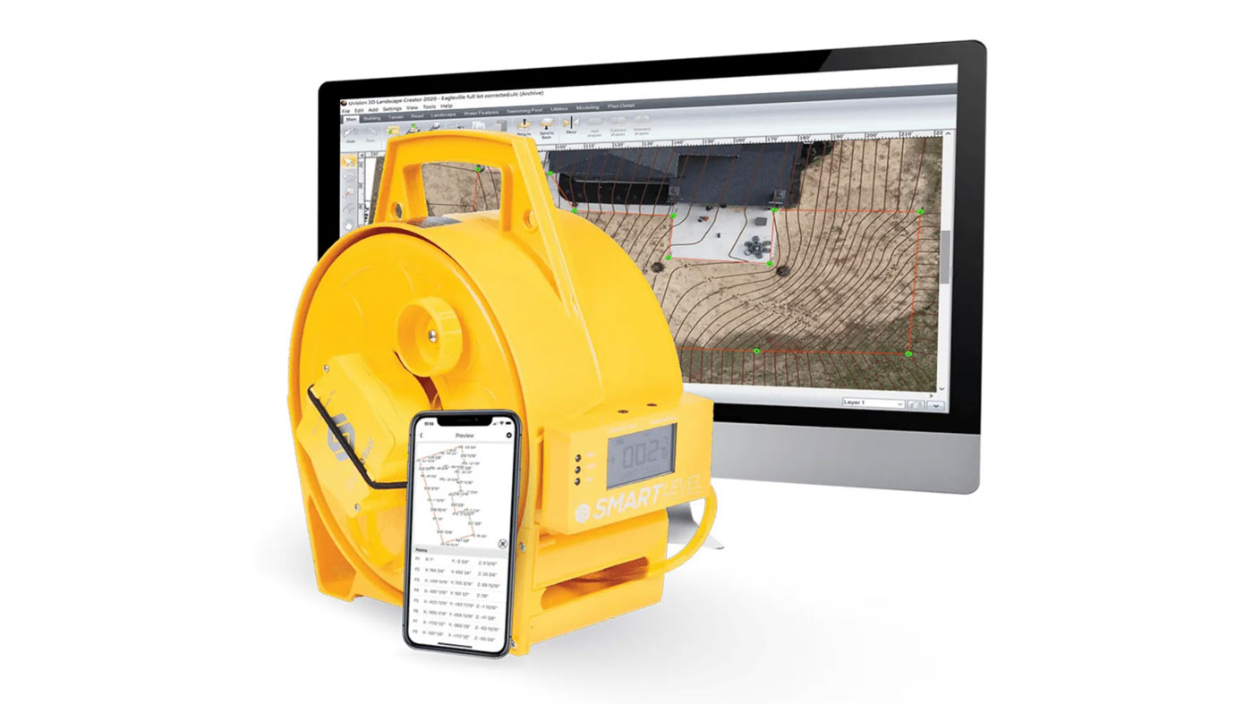
Includes: Carrying Case, Monopod and Smart Level App

DOWNLOAD THE LATEST APP FREE!
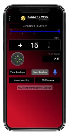
- Special Functions Include:
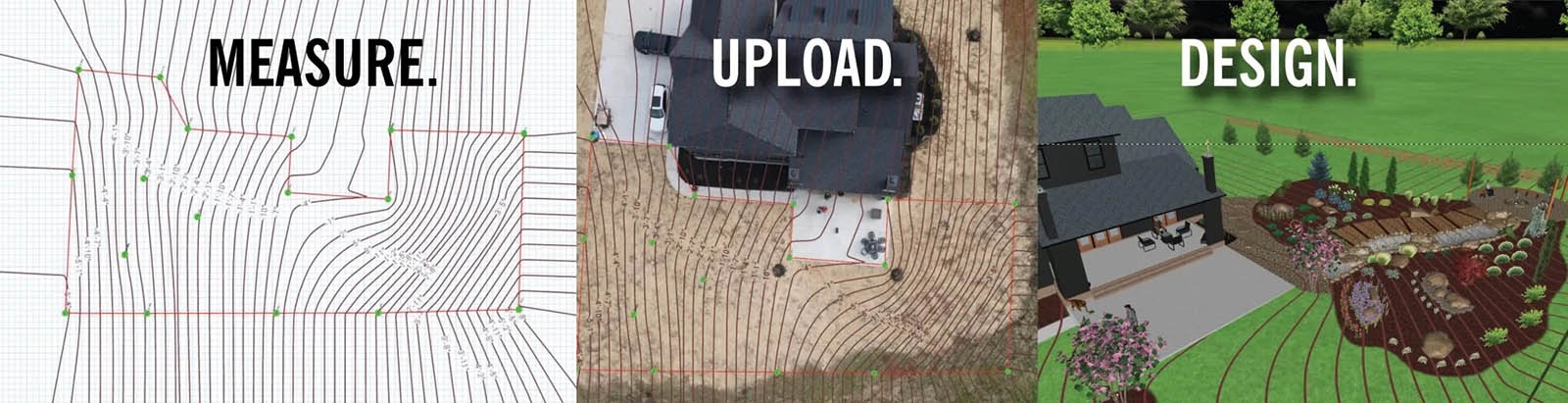
- 3D Terrain Mapping
- Image Mapping
- % of Slope
- Engineering Scale – Ft. Above Sea Level
- Range – Lights Display Low, High, Level
- Compress Data in Zip Files
- Compass
- Audible Function – App will Speak Readings
- FAQ Button

![]()
Asher Cohen, Professional Engineer, U.S. Forensic
“We’ve used Smart Leveler for the past 13 years. It gives us a way to differentiate our business from competitors. It has proven to be a valuable tool for our business. In the aftermath of Hurricane Katrina, we used the Smart Leveler to prove to insurance companies there had been a significant shifting of foundations, arbitrating any claim denials.”
Damon O’Donnell, A Pro Home Inspections, Gulf Breeze, FL
“Our crews use Smart Leveler for initial site prep and to level foundations, slabs and decks. My plumbers use it to establish grade for drain fields and landscape subs use it to level retaining walls and patios. I can’t think of a tradesman that wouldn’t benefit for having this tool to guarantee the accuracy of his work and compliance with building codes.“
Videos

Our Signature Brands
![]()
![]()
![]()
![]()
![]()